 Live Radio
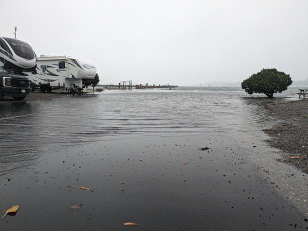 photo credit: Marc Albert/KRCB
Storm induced swell inundating low-lying Bodega Bay
The big winter storm kicking up high surf along the coast is expected to arrive in force on Friday, bringing winds high enough to take down branches and power lines, and enough rain to cause flooding.
The region is due for a fairly serious deluge. Alexis Clouser is a meteorologist with the national weather service's Bay Area office in Monterey.
"Starting in the morning hours, like around sunrise, you'll start to see chances of scattered showers, but really, the main rain band, we're looking at more towards the evening like right around four or five PM," Clouser said.
Winds associated with the storm are expected to reach as high as 30 mph, with gusts to 50 mph along the coast and over mountain ridges.
Clouser said that's strong enough to make outdoor furniture and Christmas decorations take flight.
"Might be, might be a good time today to consider taking those down," Clouser said.
While mainstem rivers are expected to remain well within their banks, streams and creeks could see rapid rises. Nuisance flooding from unusually high tides could also impact low-lying areas.
"Around Sonoma County, we're looking at rain totals anywhere from about an inch to an inch and a half at lower elevations, and then potentially at the very highest peaks you might see higher amounts of around three and a half inches or so."
Rain is expected to taper off Saturday, and a few light showers are possible Sunday. Some spots will see as much as five inches of rain by then. The next big storm is likely to arrive in the middle of next week.
