 Live Radio
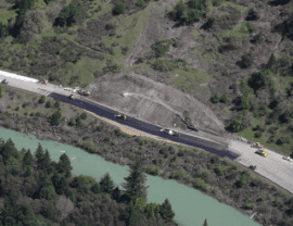 Geologists can predict where earthquakes may happen, but not when. With landslides, they can zero in on both.
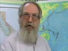 One further extension of the landslide maps is combining them with maps of potential seismic activity to create seismic zone maps. Geologist Chris Wills (left) explains this is a way to identify where the hazardous conditions could compound each other.
In addition to emergency personnel, the landslide susceptibility maps can and regularly are used by local and regional planning agencies to identify areas where new developments can be located or positioned in ways that avoid or minimize risks.

